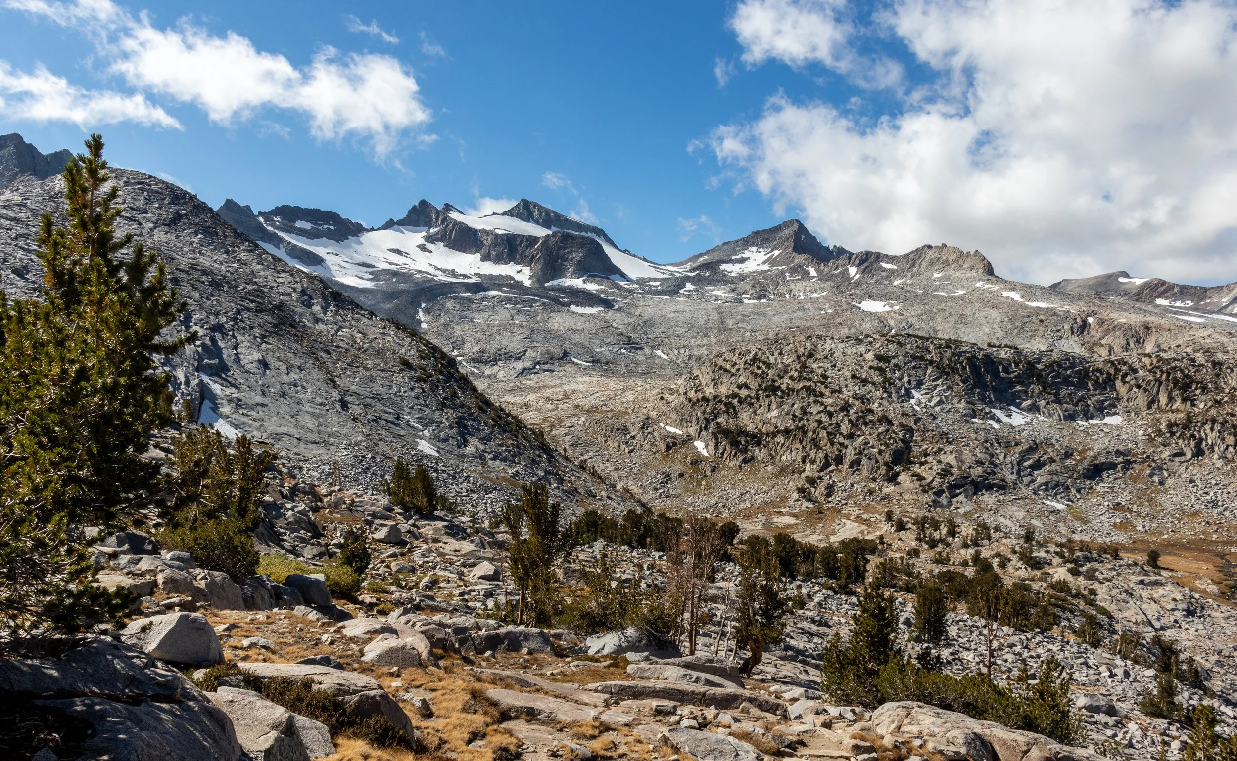
John Muir Trail: Day 22
From the junction to the Rush Creek Trail, over Donahue Pass, down Lyell Canyon, to my campsite at the last legal point in Tuolumne Meadows. Just interested in the photos? Jump to my gallery page: Day 22
| Hiking Statistic | Value | Source |
| Miles Hiked | 10.33 | CalTopo |
| Maximum Elevation | 11,074 | CalTopo |
| Minimum Elevation | 8,839 | CalTopo |
| Elevation Gained | 1,809 | CalTopo |
| Elevation Lost | 2,584 | CalTopo |
| Calories Burned | 3,761 | FitBit |
| Steps | 38,948 | FitBit |
| Distance | 16.26 | FitBit |
| Floors | 160 | FitBit |
| Minutes Sedentary | 389 | FitBit |
| Minutes Lightly Active | 312 | FitBit |
| Minutes Fairly Active | 221 | FitBit |
| Minutes Very Active | 107 | FitBit |


