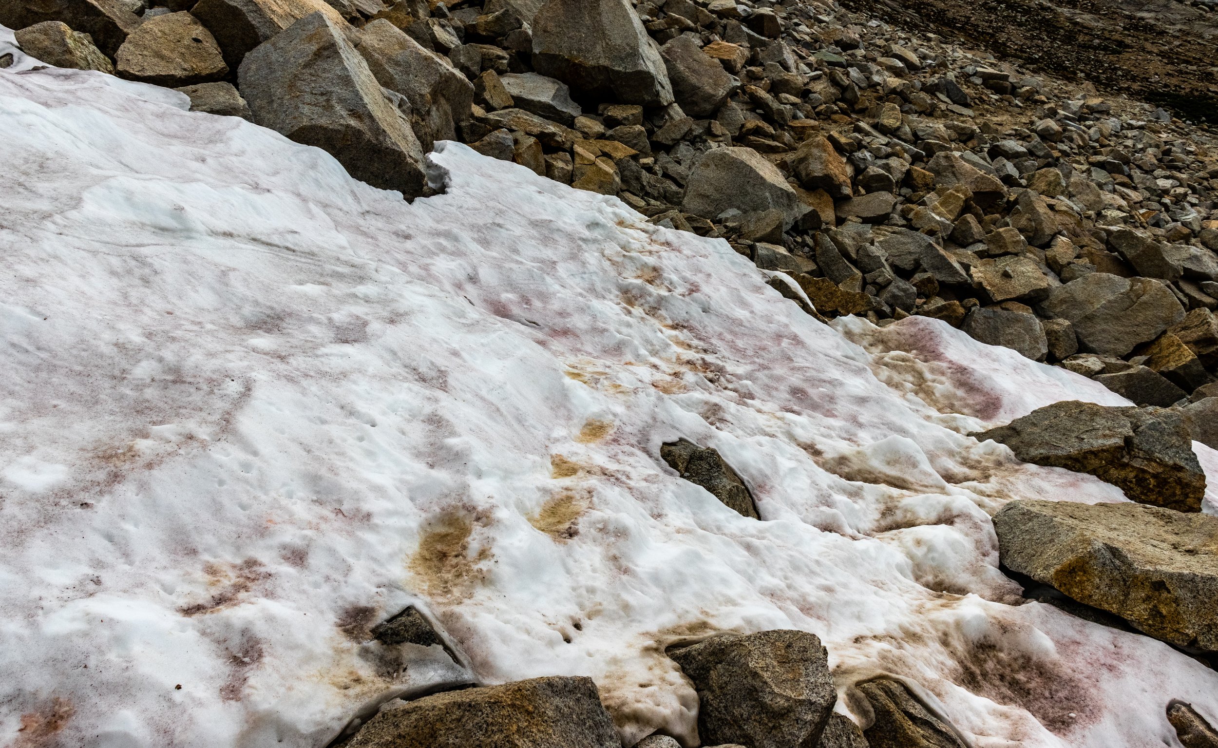
John Muir Trail: Day 12
From camp near the upper South Fork of the Kings, over Mather Pass to my campsite near the crossing for Deer Meadow creek. Just interested in the photos? Jump to my gallery page: Day 12
| Hiking Statistic | Value | Source |
| Miles Hiked | 11.52 | CalTopo |
| Maximum Elevation | 12,151 | CalTopo |
| Minimum Elevation | 8,837 | CalTopo |
| Elevation Gained | 2,644 | CalTopo |
| Elevation Lost | 4,330 | CalTopo |
| Calories Burned | 3,578 | FitBit |
| Steps | 34,502 | FitBit |
| Distance | 14.41 | FitBit |
| Floors | 208 | FitBit |
| Minutes Sedentary | 1,440 | FitBit |
| Minutes Lightly Active | 0 | FitBit |
| Minutes Fairly Active | 0 | FitBit |
| Minutes Very Active | 0 | FitBit |


